Upload Your Entry
Vintage Maps
History > Vintage Maps
All entries
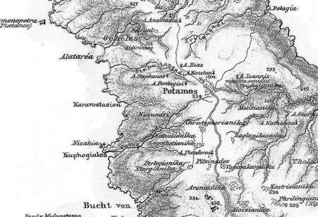
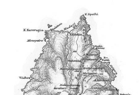
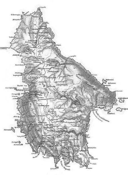
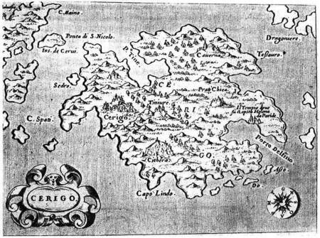
Map from 1585
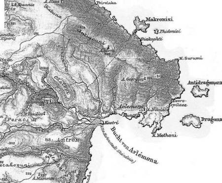
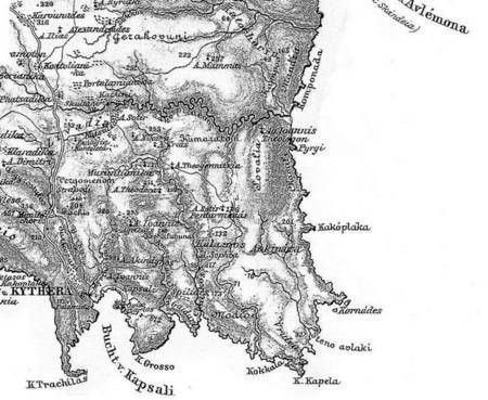
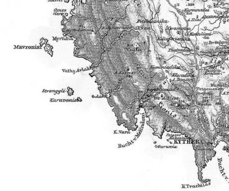
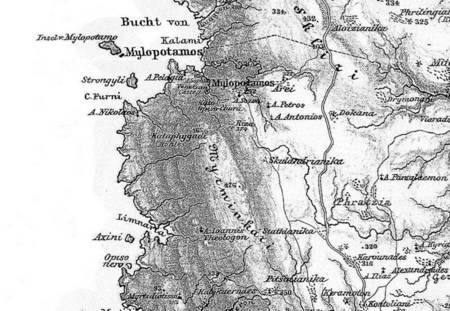
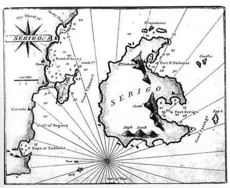
Map of the island of Cerigo, the southernmost Ionian Island, Cythera (Greek:Kythera). Copper plate...
View Full Message