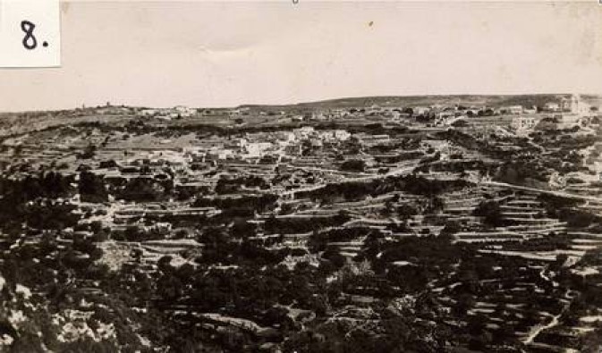
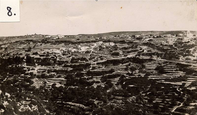
View of Mitata, probably from somewhere close to Kepriotianika. Year unknown, but the quality of the photograph suggests that it is pre-1950. Note how the terraces are still cleared - now they are mostly overgrown.
Charles Athousison 10.09.2015
This view of Mitata is not from Kypriotianika; It is from a plateu across from fields 2-3 Km from Viaradika The area is called Plakasia (Near Gournes) and it is almost as high as Mitata itself. (And is extremely windy in winter) This was actually the site where the Viaradika people intended to build the village originally. But the water source was too far to walk to (and back) even though it is almost directly below the cliffs several hundred metres -yet inacessible unless you go the long way round- So they decided to forgo the original site and build closer to the spring -and much lower- where the village is today. Kosmas Nikolaou Athousis
Charles Athousison 11.09.2015
Click below "Special Occasion" to see exactly where this picture was taken from. The photographer must've been standing to the left of the peak (at the background of this gathering at the Mitata war memorial) The plateu to the left of the peak is where Viaradika was to be originally...
Your experience on this site will be improved by allowing cookies.